
3D Laser Scanning Services for Washington, DC
High-Resolution 3D Scanning for Washington, DC & the Metro Area

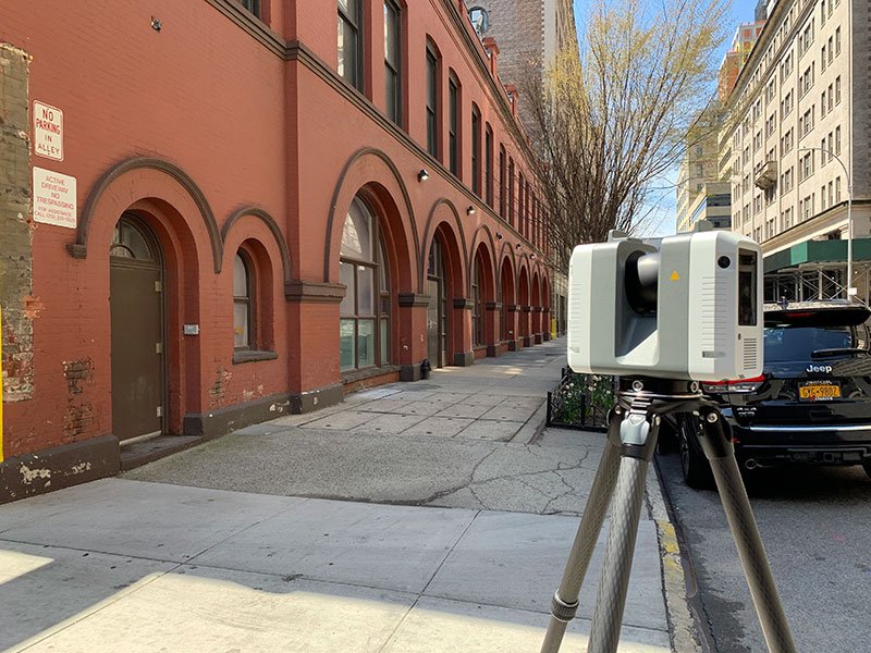
Our 3D laser scanning services in Washington, DC provide high-precision reality capture for industries ranging from construction and restoration to visual effects and digital environments. Using cutting-edge LiDAR and photogrammetry, we generate highly detailed 3D models for a variety of applications.
We serve Washington, DC, and surrounding areas, including Arlington, Alexandria, and Bethesda. Whether scanning government buildings, historic landmarks, or film sets, our laser scanning services deliver unparalleled accuracy for professionals across multiple industries.
3D Laser Scanning - Select Applications
-
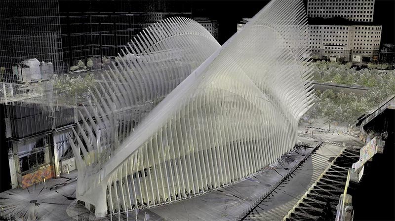
High-Resolution Point Clouds
We provide detailed point clouds that serve as the foundation for accurate 3D modeling, analysis, and measurement, offering unparalleled precision for your projects.
-

Detailed 3D Surface Models
Our laser scanning technology creates highly accurate 3D surface models, capturing the geometry of complex objects, buildings, and environments for visualization, design, and analysis.
-

Elevation and Section Drawings
Using precise scan data, we generate elevation and section drawings to document vertical and horizontal details with millimeter-level accuracy for architectural and engineering applications.
-

Concrete Scanning & Surface Analysis
We deliver laser-scanned floor flatness and levelness reports, helping contractors assess concrete surfaces, plasterwork, and damage. These scans ensure compliance with industry standards and provide critical data for renovations or repairs.
-

As Built Plans & Layouts
From floor plans to site layouts, sections and elevations, our as-built plans offer detailed, accurate documentation of existing conditions.
-

Orthophotos and Planar Views
Create high-resolution orthophotos and 2D planar views from scan data, ideal for accurate documentation of walls, floors, ceilings, and other flat surfaces.
-

Clash Detection and Quality Control
Using 3D scans, we enable clash detection by comparing the scanned conditions with design models, ensuring that construction aligns with specifications and reducing costly errors.
-

BIM Integration for MEP Systems
We scan mechanical rooms, HVAC systems, and MEP infrastructure to deliver BIM-ready models which ensures accurate system coordination, design optimization, and seamless integration into your digital workflows.


Industry Leaders Trust MYND.
Washington, DC’s architects, preservationists, film studios, and industrial designers trust MYND Workshop for high-accuracy 3D scanning. Our work supports historic documentation, virtual environments, and precision fabrication. Contact us today to schedule your 3D laser scan in Washington, DC.
Industries We Serve in Washington, DC and the Metro Area
-

Architecture, Engineering & Construction
We provide precise 3D scanning, BIM-ready data, and accurate as-built documentation to support design, construction, and renovation projects.
-

Historic Preservation
Our advanced scanning and documentation services capture every detail of historic structures to support restoration and preservation efforts.
-

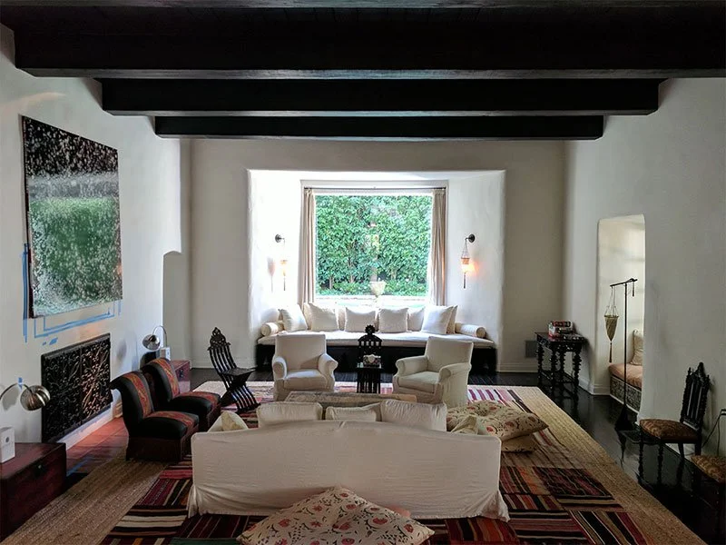
Real Estate & Residential
From property documentation to detailed renovation plans, we deliver accurate scans and 3D models for real estate professionals and homeowners.
-

Art & Fabrication
We offer precise 3D scanning and modeling services to help artists, artisans and fabricators create, replicate, and innovate.
-

Media & Entertainment
From props to film sets and environments, we provide high-quality 3D scans for visual effects, gaming, and virtual production.
-

Museums & Heritage
Our scanning and digitization services preserve artifacts, artworks, and cultural heritage with exceptional detail and accuracy.
Providing 3D Laser Scanning Services Across the U.S.A.
With 10 strategic hubs across the United States, MYND Workshop's 3D laser scanning services are more accessible than ever, especially to our clients on the East and West Coasts. Our central hub in Dallas further enhances our reach, ensuring we can efficiently serve clients nationwide and even internationally, without compromising on our commitment to quality and precision.


Frequently Asked Questions
-
3D laser scanning uses advanced LiDAR technology to capture precise 3D measurements, creating high-resolution point clouds for as-built documentation, design, and analysis.
-
3D laser scanning provides millimeter-accurate data, reduces errors in project planning, and accelerates workflows for architectural, engineering, and construction projects.
-
Terrestrial laser scanning is a type of ground-based LiDAR that uses stationary scanners to capture high-detail, close-range measurements of buildings, interiors, and objects with millimeter accuracy. In contrast, LiDAR is a broader term that includes various laser scanning methods, such as drone-mounted or aerial LiDAR, which are ideal for mapping large outdoor environments or hard-to-access areas.
-
We provide point clouds (LAS, E57), 3D models (Revit, CAD), floor plans, and site documentation in formats compatible with industry-standard software.
-
Yes, we combine laser scanning with photogrammetry to add realistic textures to 3D models, creating detailed visualizations for design and analysis.
-
Costs depend on project size, complexity, and required deliverables. Contact us for a custom quote tailored to your project needs.
-
Absolutely. Our laser scanning technology captures every detail of historic structures, ensuring accurate documentation for restoration or conservation.
-
Yes, we use drone LiDAR and terrestrial scanning to document both built and natural environments, ensuring comprehensive site coverage.